
Piton de la Petite Rivière Noire: Highest Peak in Mauritius
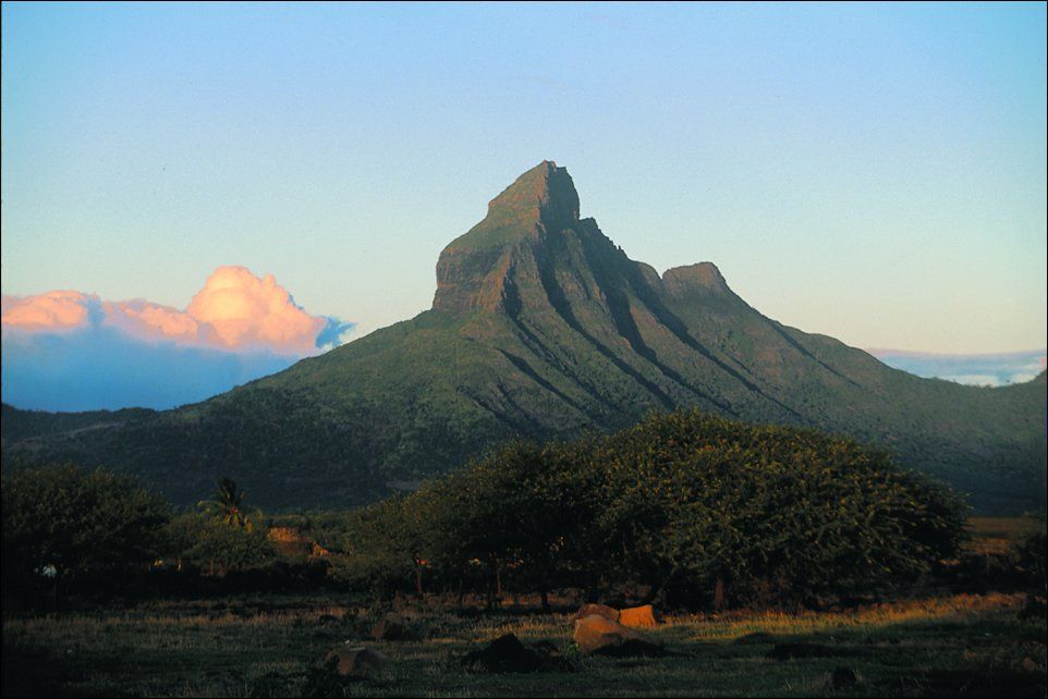
Piton de la Petite Rivière is the tallest peak in Mauritius. Doing an ascending on this magnificent summit offers gorgeous views and heightens one’s experience. As such, the area is visited by lovers of diverse geological and biological interests because of the regions natural beauty of the area. Climbing this mountain is a good chance to obtain incredible view.

How Long Does It Take to Climb Piton de la Petite Rivière Noire?
The hiking duration is more than 5 hours. The time taken will of course depend on the rate at which a hiker moves and one’s physical endurance. Obviously, skilled hikers might complete the trail in one or several days, while inexperienced individuals could spend several times more days, undertaking the same mission. It feels good to get there no matter how long it took you to get there ‘ Getting to the top is a tremendous feeling.
What is the Height of Piton de la Petite Rivière Noire?
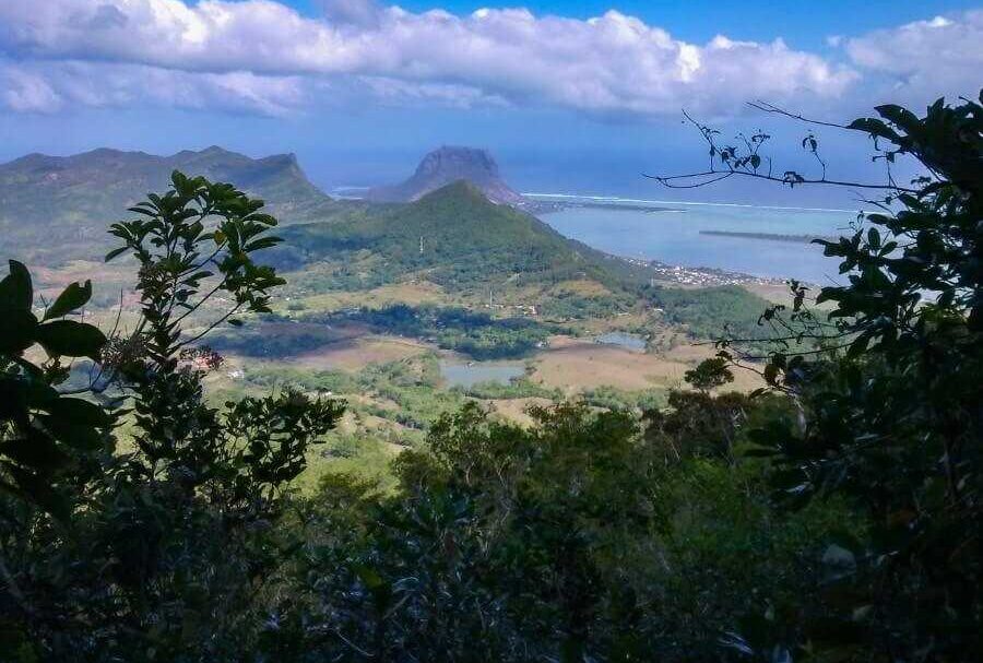
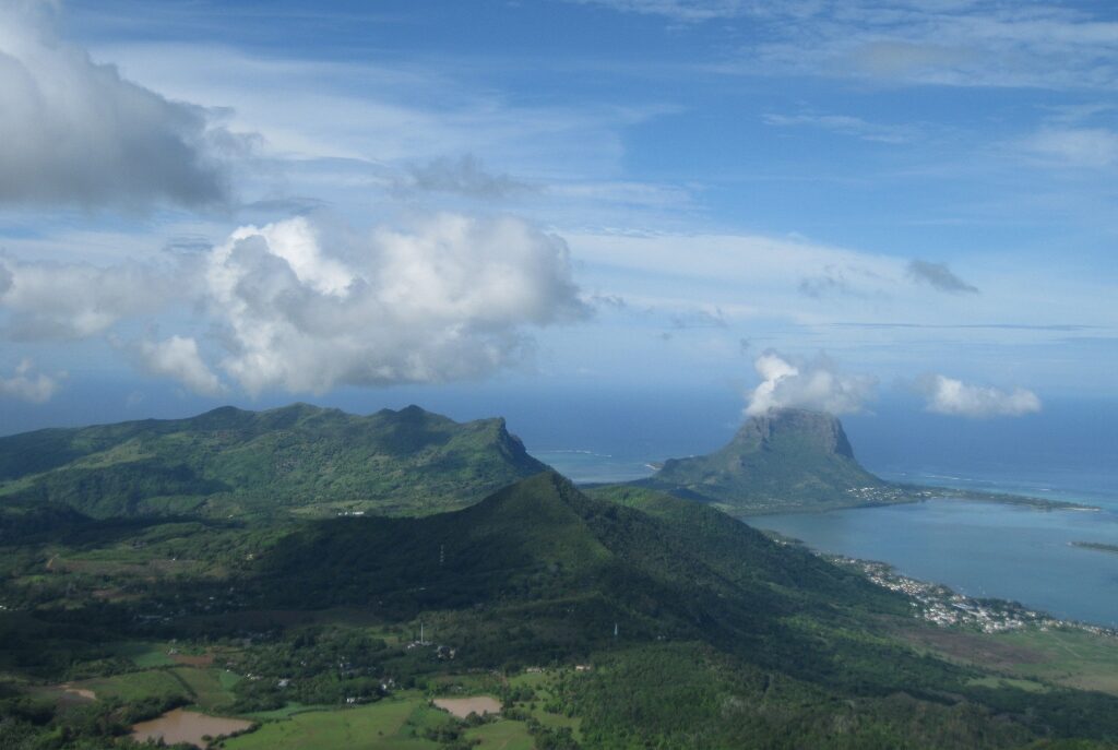
Piton de la Petite Rivière Noire measures 828 meters. It is totally identified and easily recognizable and also the highest peak in Mauritius. It provides true adventure enthusiasts a stunning explosives of the topographic view that includes green forests, the lovely coast line.
Piton de la Petite Rivière Noire Hike Distance

The highest point is around six kilometers away from the trailhead. The Black River Gorges National Park’s main road in Plaine Champagne, next to the Black River Gorges Viewpoint, provides access to the path. A relaxing walk through the forest distinguishes this trip, which leads to two viewpoints: the 828-meter-high Black River Peak and the 620-meter-high Piton St. Denis. Along the trip, hikers will come across beautiful sights as well as challenges. Although the climb is physically demanding, people who enjoy adventures in nature will find the experience rewarding.
What to Expect on the Hike
The activity starts in a thick tree cover allowing hikers to witness the richness of the island’s vegetation and wildlife. The landscape also changes as one climbs and this presents hikers with clear visions of mountains and beach fronts.
Piton de la Petite Rivière Noire Hike Map
To navigate the trails, it is essential to have a hiking map. You can get the official park maps online or at the trailhead. These maps display the route along with important sites and diversions. Hikers can find places of interest and keep on track with the aid of a map.
Best Time to Hike Piton de la Petite Rivière Noire
Hiking is most enjoyable from May to September during winter in Mauritius. It is a more pleasant time of year to climb because of the weather. The weather is cold and less likely to rain in the early mornings. Always check the weather prediction before you go.
You are in for quite a ride if you choose to trek around Piton de la Petite Rivière Noire. The following climb is among the best to make in Mauritius because of its rich bio-diversity, beauty, and steep head. Check that all good things were taken before one can have a wonderful time while appreciating the creativity of nature. All those people who will be taking the trip will live to cherish the memories which they will make throughout their lifetime.